
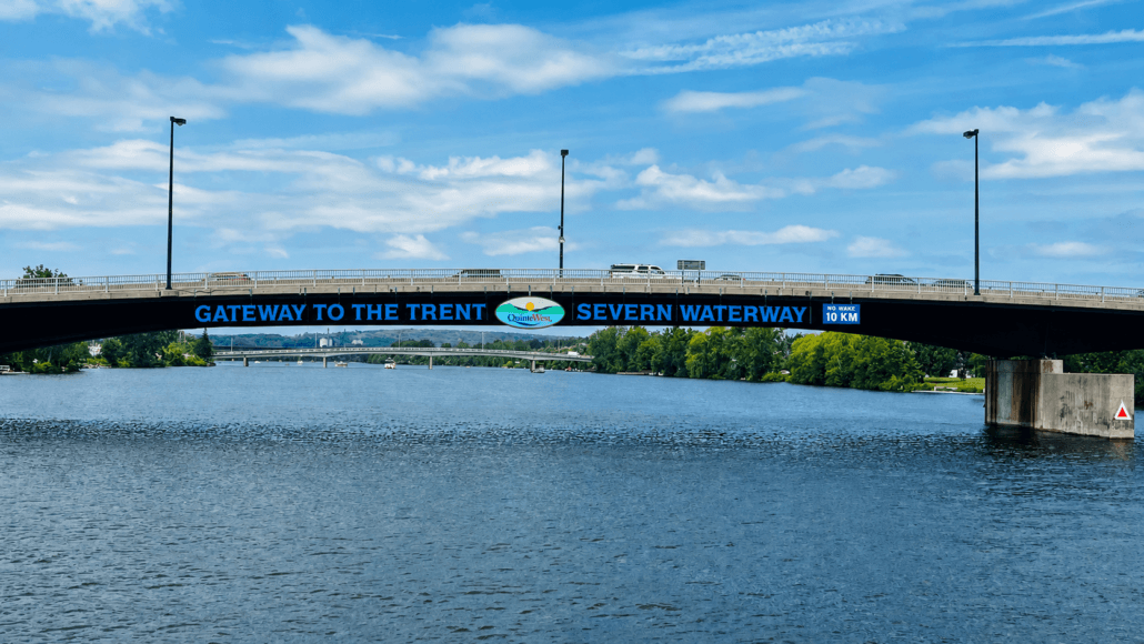
#55 The Trent-Severn Canal!
240 miles, 44 locks. This is the entrance. We got here by taking a slightly different route than most. When we left Oswego, rather than heading to Kingston or Clayton, which would be the right side of an upside down triangle and the more conventional Looper route, we went straight to Brighton, and from there took the five-mile Murray Canal to Quinte West, where the TS starts. That saved us a couple of days of travel, and since we’re still feeling a little behind schedule, suited us just fine. Crossing Lake Ontario was a little spooky, for some reason it felt more intimidating than it probably should have. It was only about 65 miles, and we did it at 20mph, so it only took a little over three hours. I realized later that the butterflies you get before a crossing is because of the unpredictability of the weather forecasts. No matter how good they look, once you get out there twenty or thirty miles, you are on your own. We’ve had pretty good luck but even so, when they say two feet seas, that means once in a while you’re going to see three or even four feet. This trip we had some big swells that rolled us a bit, but nothing really rough. I would call it “lumpy”.
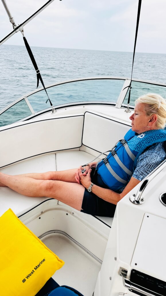
Cheryl apparently trusts me implicitly. This is how she spent much of the crossing.
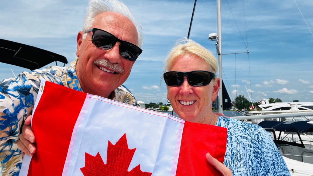
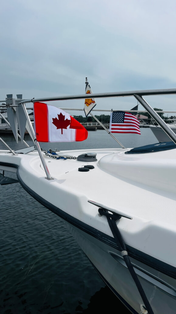
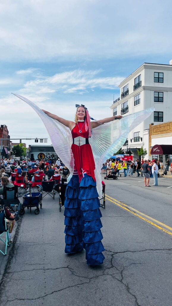
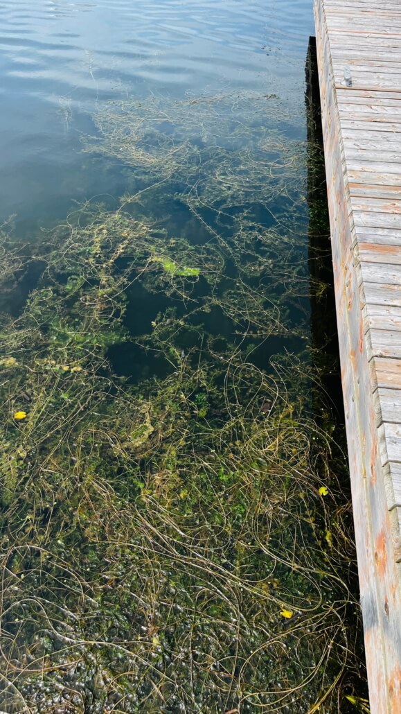
First stop was the Trent Port Marina at Quinte West, a really nice marina with probably the nicest facilities we’ve come across, including free laundry. We got checked into customs with a phone call and put up our Canadian flag, then walked to a street fair and had some pizza. The aquatic growth is terrible, I’m going to have to clean our strainers soon. This stuff even plugs up the propellers and you have to go into reverse and kick it off as best you can.
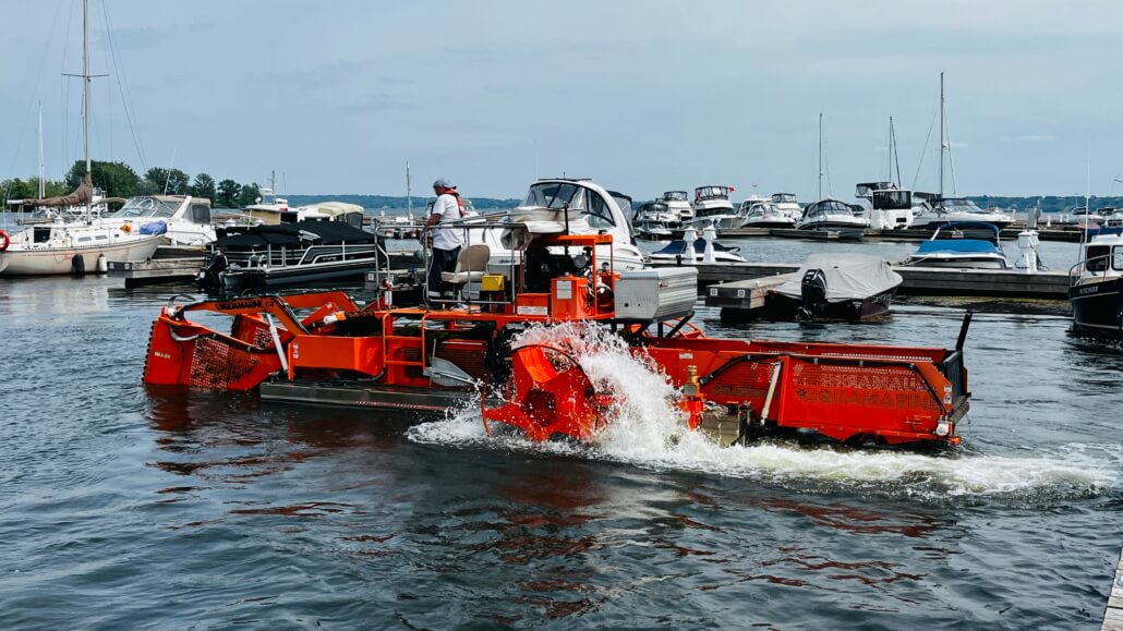
This is a water capable lawn mower they use to try and keep the growth down. It runs all summer.
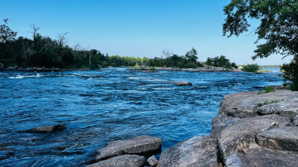
Surprisingly, like the Erie Canal, much of the TS is river and lake, not simply a narrow canal. And it’s gorgeous.
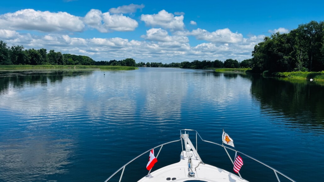
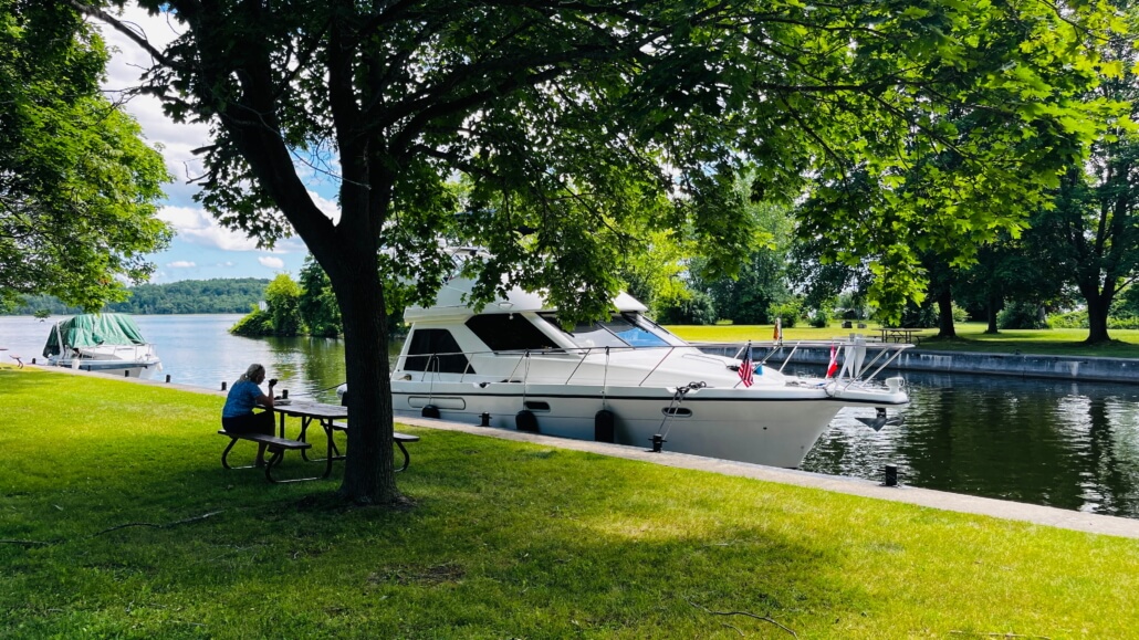
We spent a few nights tied up at the free docks which are located at each lock, both top and bottom. Most had nice green spaces available, or were right in town so you could walk to a store if you needed. These tie-ups are great! Wish we had them on our rivers.
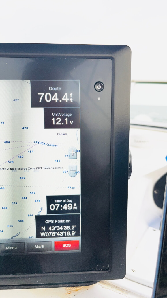
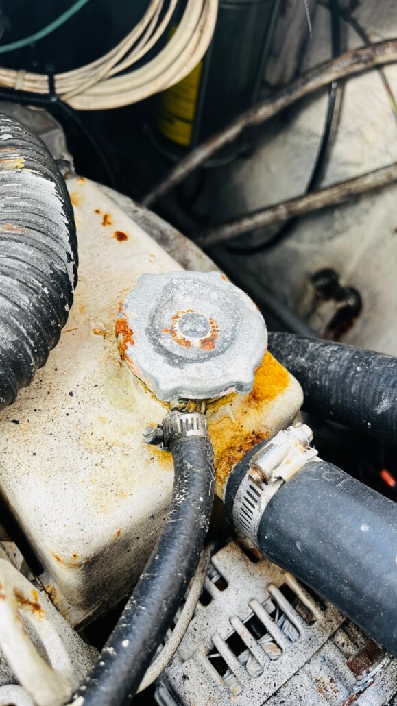
Oh yeah, Lake Ontario is deep! And this is how fast salt air destroys a boat. This was a brand new radiator cap only a year ago.
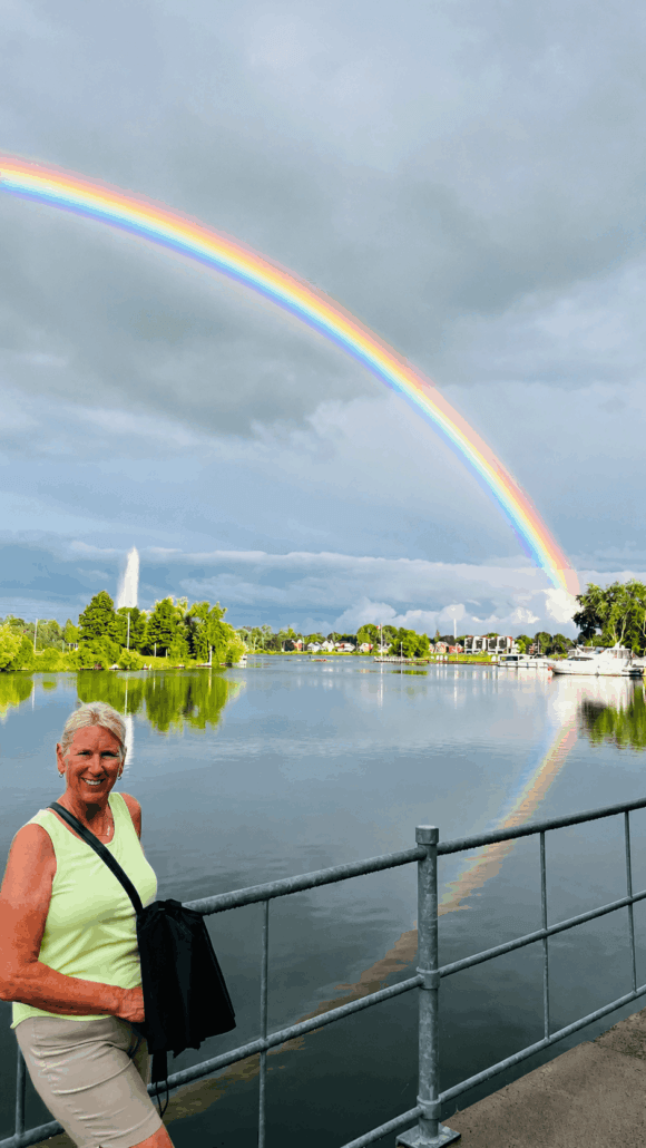
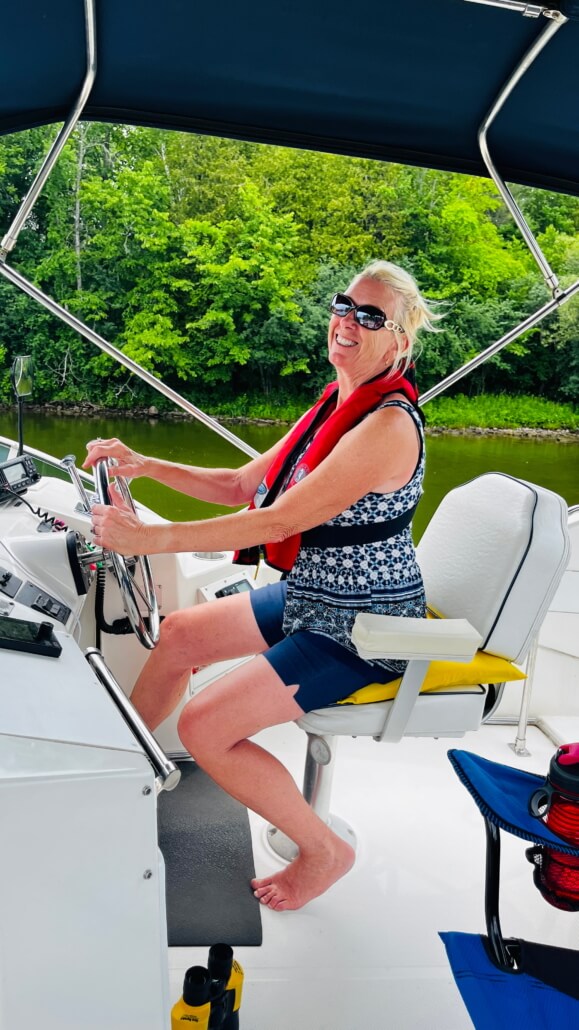
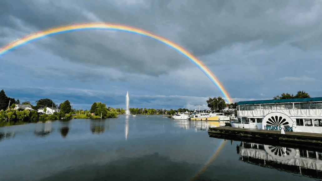
A couple of glamor shots of the first mate. The rainbow was at Peterborough, home of the Peterborough Lift Lock.
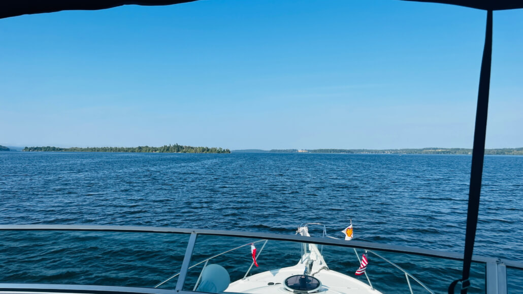
This is Rice Lake, a beautiful cruise which is part of the Trent-Severn Canal. Amazingly, some 20,000 years ago, this was all carved out by the Laurentide Ice Sheet, which reached one and a half to two miles thick right in this area. That’s miles thick, not length or breadth. So right over our heads in what today was 72 degree clear blue skies was once a couple of miles of ice. The geographic footprint left behind by this massive weight makes the Kawarthas, which is what they call the collection of lakes around here, one of the most famous glacial study regions in North America. As the ice melted it left the Peterborough Drumlin Field, a series of tear-drop shaped hills formed out of sediment and rock by flowing streams of mud under the weight of the ice sheet. One of the largest drumlins is right here in town, now called Armour Hill. If I step outside the boat I can see it. The islands scattered in Rice lake are all partially submerged drumlin hills. I can’t see any from here, but this whole area is also known for glacial erratics, which are giant boulders carried south by the glaciers and deposited as they melted. One, near Trenton, which we passed, weighs some 33,000 tons. Would make a good souvenir of this part of the trip if I could figure out a way to get it home. The Laurentide Ice Sheet, and others, weighed so much the weight pushed the earth down, which is still rebounding, and left us with something called “True Polar Wander”. In other words, the weight of the glaciers made the planet wobble, which it still does today.
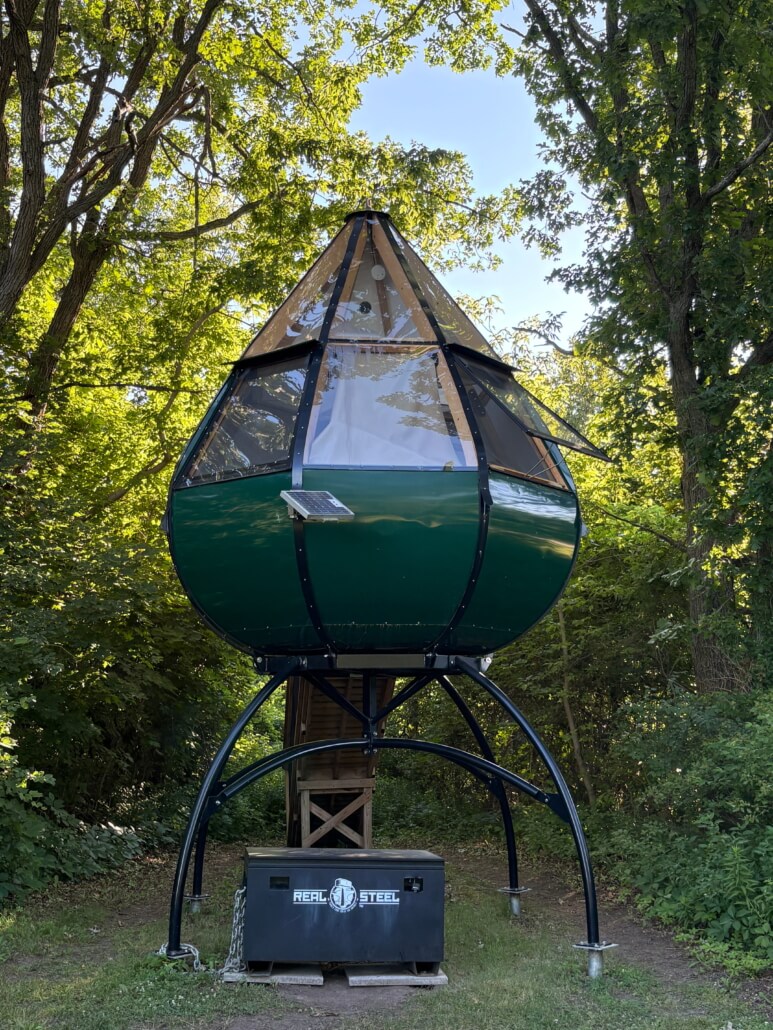
A narrow part of the Murray canal, and a yurt-looking thing that you can rent and camp in. We saw several clusters of these.
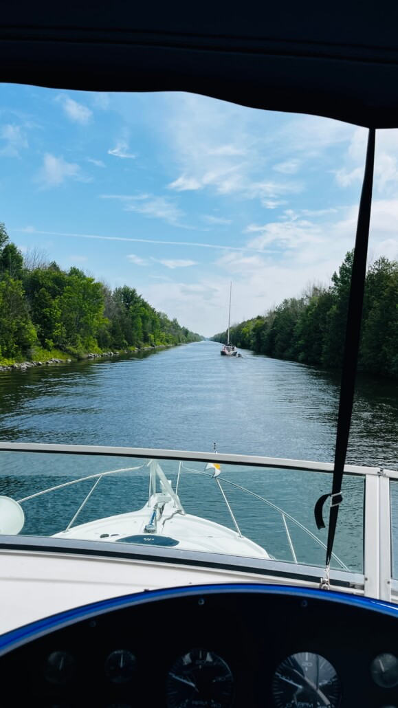
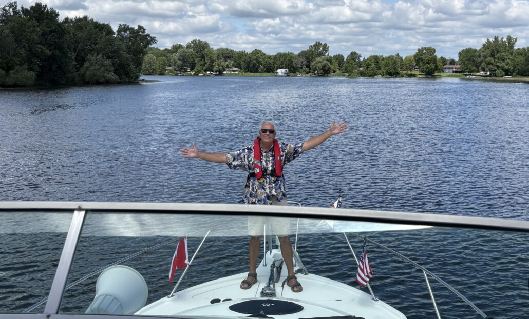
Still and always my favorite place to ride on a boat.
The Peterborough fountain, with rainbow. Our boat is just behind the tour boat.
Many of the locks along the way are manually operated. Opened in 1833, much of the infrastructure remains in service today. So they hire teenagers who are out of school for the summer to work the locks and go in circles just to help us crazy Loopers keep going!
In case you missed this from another post, this is the lift we went through. The Peterborough Lift Lock first opened on July 9th, 122 years ago.
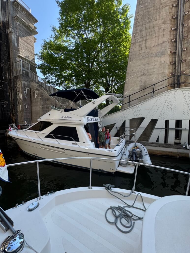
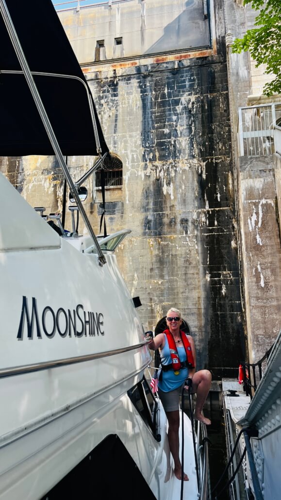
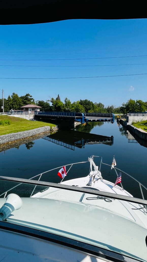
Our luck keeps holding up. This day was forecast to be the hottest day in 90 years here, and look at that shady spot we’re tied up in. The swing bridge is a roadway, and it just amazes me that they’ll stop traffic and open up these giant bridges just to let us through.
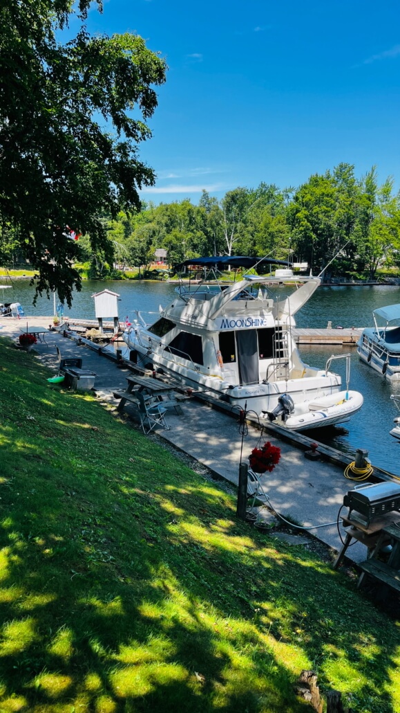
I just love the tie-up walls available at the locks along the way. Nice cool park areas, with restrooms and some with showers. It makes traveling the Trent-Severn a real treat. We need this at home!
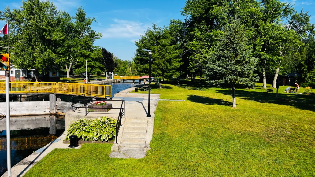
This is Burleigh Falls, yet another unexpected pleasure along the way. This overnight lock stop had two restaurants, an ice cream shop, and a rustic general store. Along with a waterfall and rapids, where we swam for the first time on this trip! You’d think we’d have been in the water way before this, but it was always too cold. So here we are, in Canada, and we finally manage to get in the water!
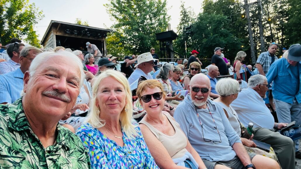
As always, the real pleasure is the people we meet. We’ve talked to many locals along the way, all with fascinating stories or helpful advice. Some were camping for days at these tie-up walls at the locks, others we met in town. In one lock a small rowboat was in front of us, and Cheryl talked him out of a fresh and still warm loaf of cheese bread, just made that morning at a local bakery! One day, to our great surprise, there was a knock on the boat from friends from Lenoir City! Luis and Kim aboard Bliss, who are not really doing the Loop but as they go are traveling parts of it backwards. Luis was kind enough to give me some great advice about the Georgian Bay and the Northwest Channel. It was such a great surprise and a real treat to get to hang out with them an afternoon. And then, the very next day, another couple on a boat from Lenoir City knocked on our boat, Rand and Cheryl aboard the Cheryl Ann. Wow! We went to a play with them that evening, Spamalot, which, if you are a Monty Python fan, you know. It was in a wonderful outdoor arena under the stars. A magical evening.
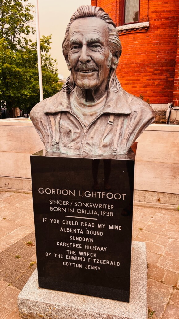
Orillia was a nice stop along the way, we spent two nights here. Learned that Gordon Lightfoot was born here. Spent a few minutes on a park bench waiting for a lock to open and humming “The Wreck of the Edmund Fitzgerald.”
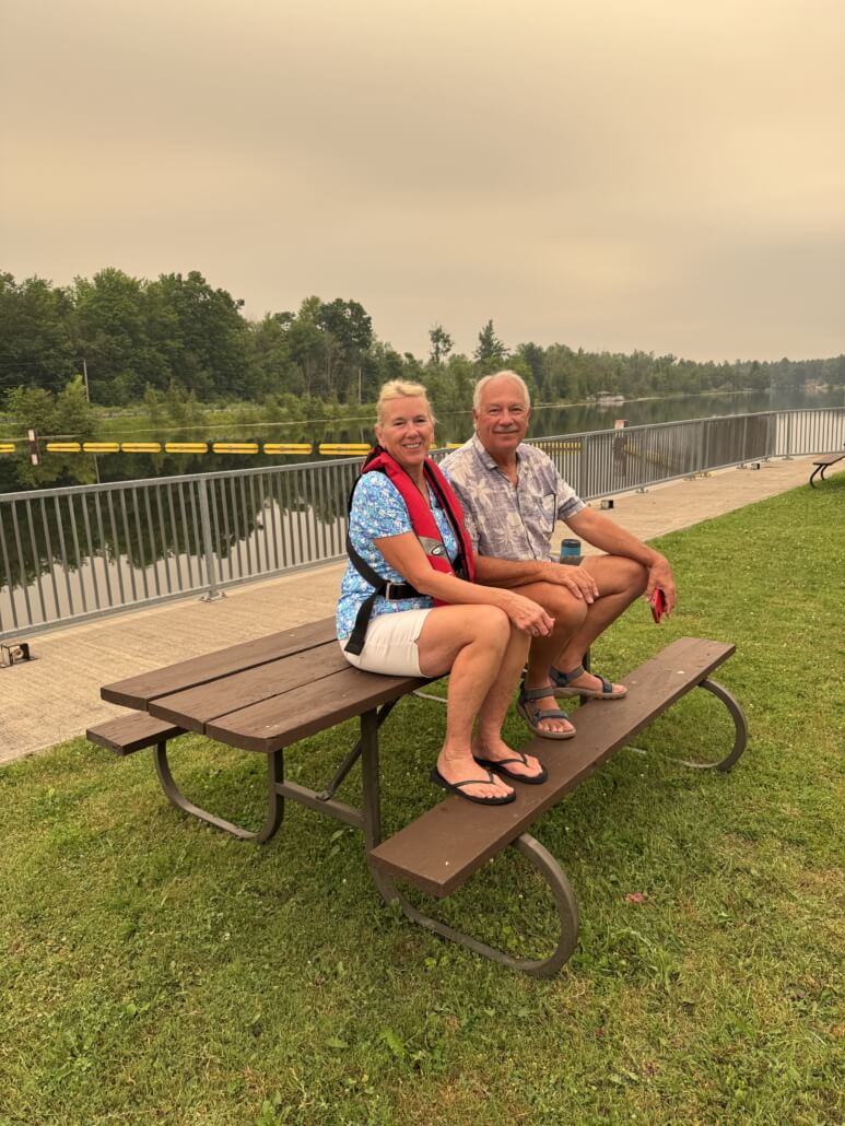
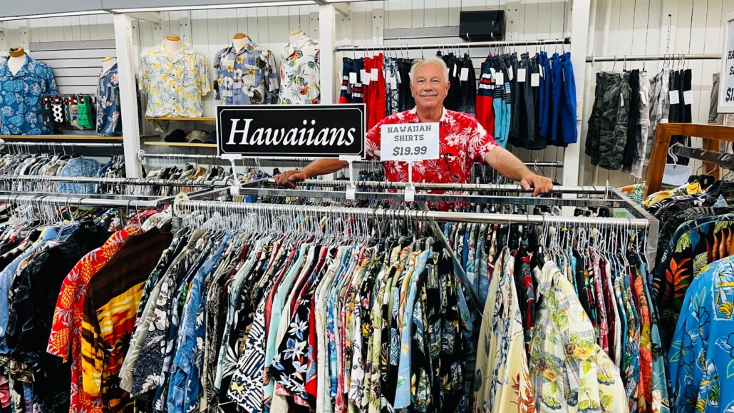
Walking around town we came across a thrift store with more tropical shirts than I’ve ever seen in one place! Walked out with a bag full.
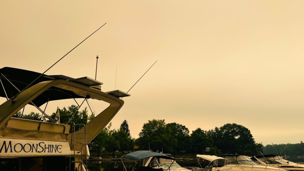
We got into some smoke from the wildfires which gave the sky an eerie orange cast. Looked apocalyptic. Maybe it looked like this right after the asteroid that wiped out the dinosaurs hit.
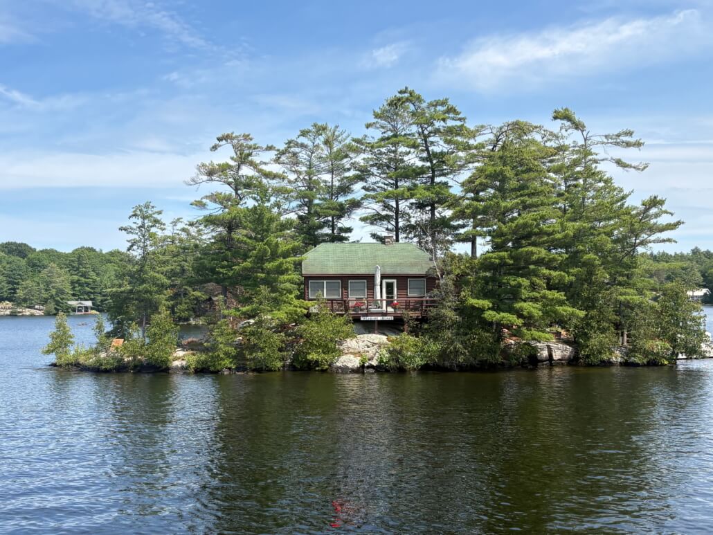
Along the way we passed island after island with a house on them, probably summer homes. Wouldn’t that be a cool place to live for the summer?
We completed the Trent Severn, including the Big Chute! Pretty amazing ride. That’s us, left-most boat on the carriage.
People often ask us what our favorite part of the trip has been, and we have to answer, “the next part”. However, from New York north on the Hudson and west on the Erie Canal and now the Trent-Severn might qualify as our favorite part; it has been simply amazing. The small towns, the parks, it’s just crazy cool. Which makes me think, as I glide along marveling at the massive infrastructure of the Erie Canal and the Trent-Severn, the locks with their oversized machinery, the dredging equipment that can cut a thirty foot wide channel, and the 122 year old Peterborough Lift Lock, all left-overs from the heyday of industrialism, I have to wonder. How much longer will all this hold together? How long will municipalities and states and governments allocate money for an obsolete system that is now purely recreational? The Erie Canal paid for itself within years of its completion, but those days are long over. We paid a few modest dollars here and there for the privilege of using some of this waterway, but those annual revenues are just a drop in the bucket compared to the cost of running all this. I would imagine that once there is a large-scale failure somewhere, the Great Loop will cease to be a thing. Along the Erie Canal for example, there is an eight mile section where the speed limit is a very strictly controlled five mph. I looked it up to find out why, and it’s because there are different kinds of soil along the Erie Canal and that section has what is considered “fragile” banks, made of lower-clay content soil. If/when a half mile or more of the sides of the canal erode and slide into the channel, blocking it, will the state of New York really kick in the hundreds of millions of dollars it’ll take to repair? For a bunch of pleasure boaters? Somehow I think that’s unlikely. It reminds me of a recent and similar tragedy that did occur, the hurricane Helene damage to the Virginia Creeper Trail. That really broke my heart. I loved that trail, have ridden it many times, even uphill once. It too was built on the left-overs of an industrial age, the logging railroads that cut the rocks, built the trestles and laid the rails. Now that it is purely recreational, there is no one to put up the hundreds of millions it would take to put it back together again. So the Virginia Creeper Trail simply doesn’t exist anymore. I wonder how long it will be before the same thing happens to The Great Loop?
PS: Wow! Do I have an exciting late update!! I still am a little disbelieving, but apparently the Virgina Creeper Trail is OPEN! I said it’d take hundreds of millions to put it back to together, and apparently the US Forest Service did just that, came up with $240 million to rebuild it and it is scheduled to open in 2027! I am flabbergasted, I sure didn’t expect to ever see that happen. Just goes to show that good things still happen in life.
https://shorturl.at/dotbe
“I am thankful for nights that turned into morning, friends that turned into family, and dreams that turned into reality.”


I loved everything you guys said, especially Butch at the end. We are all very lucky to be alive in the time line.
your pictures and videos are also very cool. Butch, how did you get Cheryl up on those stilts in a parade?!!! (lol)
best regards,
enos
Hahahaha. He gave me a BIG boost! We just left the last (#45!) lock of the Trent Severn and have entered the Georgian Bay.
Those rainbow pics are amazing!
Thanks ever so much for sharing your journey with us. How exciting! Safe travels.